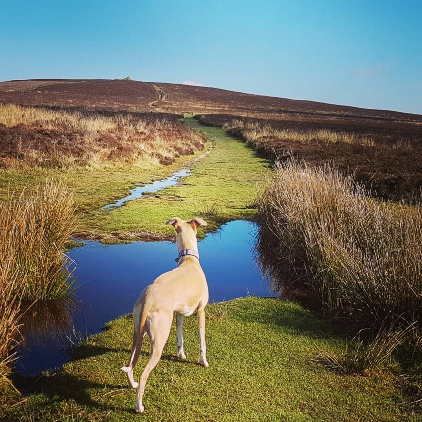
Wheddon Cross Circular Walk. This 8-mile walk takes you across varied Exmoor landscapes. From farmland to the open moor, you will reach the highest point in southern England outside of Dartmoor, Dunkery Beacon. From here you will return through a valley of mature woodland.
Wheddon Cross Circular Walk Key Points
Length: 8.0 miles / 13 km
Ascent: 1170 feet / 355 metres
Grade: Moderate
Start: Wheddon Cross carpark. Postcode (approximate location) TA24 7DU. OS grid reference SS923387
Walk Description
Start the walk from the Wheddon Cross carpark, near the cricket ground. Cross the cricket ground, passing through the gate to the right of the pavilion. Continue along the waymarked route, with the boundary fence to your right. You will reach a footbridge – cross this, following the stream until you reach Luckwell Bridge village.
From the main road, head north up Long Lane, enclosed between high hedges. Head straight over Trottsway Cross, continuing the climb along a track to reach Long Lane Head. Turn left along the road – views should open up to your right. You will reach Dunkery Gate, from here follow the track that heads towards Great Rowbarrow.
There will be a junction of paths, turn right here to head up to the summit of Dunkery Beacon. This is the highest point in Somerset, with views across the open moors in every direction.
From the summit, take the broad path heading northeast. Cross the road when you reach it, continuing in the same direction. Once you reach a path junction, turn sharply right heading south. Continue over the open moor for a mile or so, reaching an area crisscrossed by paths and tracks.
Once you reach the boundary wall, turn right, keeping the wall on your left as you descend to the combe. Pass through a gate, continuing your descent, across a broader track to reach a stream. Enjoy the mature woodland as you continue on the southern bank following the river downstream. Continue until you reach the lane ‘Drapers Way,’ crossing this to follow the bridleway. Climb through the woodlands to reach open fields, then turn left to reach the main road. Turn right down the road for the last few minutes walk taking you back into Wheddon Cross centre.
For an outline walking route map, follow this link to Walking Britain
More walks across Somerset & Devon in Exmoor National Park
Circular Walk | Dunster | 2 Hour
Useful Exmoor Maps | Walks, Things to Do, Places to Eat
Circular Walk | Porlock | Easy to Moderate Walk
If you are interested in self-catering accommodation across Exmoor, click the link below;


